Developing cutting-edge digital aerial cameras and photogrammetric processing software with constant product upgrades and world-class support has made Vexcel Imaging a market leader in the geospatial industry. The broad UltraCam aerial camera portfolio covers all applications in airborne photogrammetry — from nadir to oblique to wide-area data collection.
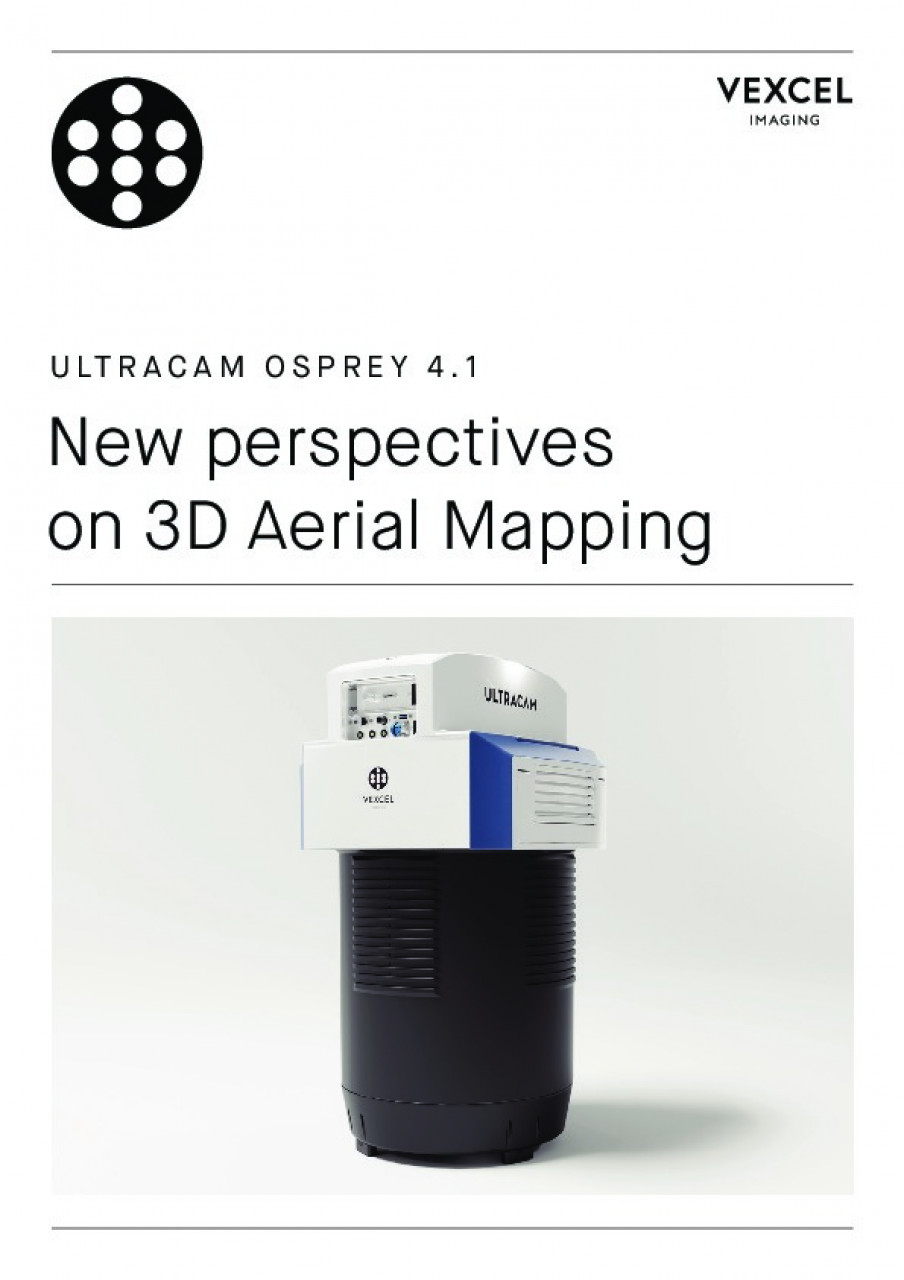
The latest addition to the portfolio, the UltraCam Osprey 4.1, is taking flight collection efficiency at superior radiometric and geometric quality to new heights. This highly versatile large-format aerial camera is a two-in-one camera system, that collects photogrammetry-grade nadir and oblique images simultaneously. It meets diverse application needs ranging from 3D mapping to traditional mapping applications from the same flight mission.
The new and innovative Adaptive Motion Compensation (AMC) method compensates for multidirectional motion inducted image blur and additionally compensates for ground sampling distance variations in oblique imagery for unprecedented vividness and sharpness.
Processing of the UltraCam data is handled by the UltraMap photogrammetric software suite that offers an end-to-end processing workflow for highly automated for quality data products that include point clouds, DSMs, DTMs, ortho imagery and 3D-textured TINs. Customers gain the best possible insight and control over their data throughout the entire value chain to create 3D spatial data products that meet the highest photogrammetric standards.
High-resolution aerial imagery is offered through the Vexcel Data Program (VDP). The VDP is a cloud-based imagery service providing high-resolution nadir and oblique aerial imagery and now includes the recently acquired imagery library from Geomni. The VDP powers the Geospatial Intelligence Center (GIC), an initiative launched by the National Insurance Crime Bureau to serve the insurance industry through geospatial support and best-of-breed data collected annually, as well as to provide first responders with up-to-date aerial coverage in disaster situations.