Hexagon is a global leader in sensor, software and autonomous solutions. We are putting data to work to boost efficiency, productivity, and quality across industrial, manufacturing, infrastructure, safety, and mobility applications.
Our technologies are shaping urban and production ecosystems to become increasingly connected and autonomous — ensuring a scalable, sustainable future.
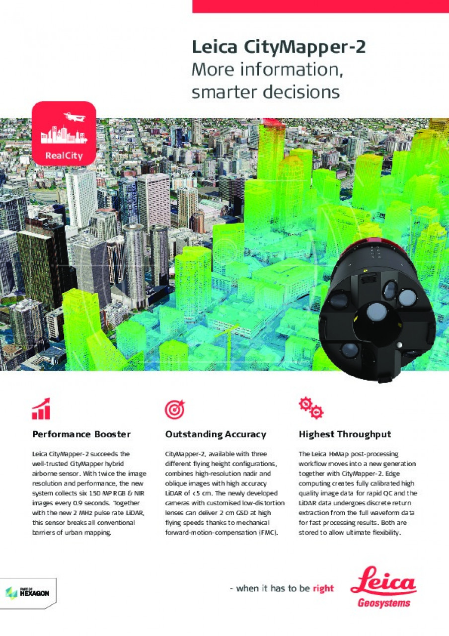
Hexagon's Geospatial Content Solutions business unit researches, develops, produces and distributes cutting-edge airborne imaging and LiDAR sensors and data processing software to provide customers with higher data capture efficiency and more data from every flight.
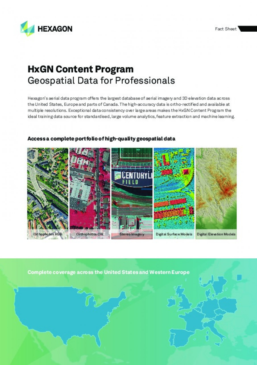
Our partners capture data for the HxGN Content Program, Hexagons aerial data program, which offers the largest library of aerial imagery and digital surface models across North America and Europe. The data is ortho-rectified, accurate, and available at multiple resolutions. The exceptional data consistency over large areas makes this the ideal training data set for machine learning and AI algorithms. Flexible data use terms allow users to create derived products.
As the leading solution provider for airborne mapping solutions, we provide our customers with innovative and cutting-edge technology and immediate access to geospatial information and services.